
Salem Block Source Roles
Each source in a Salem block search has a narrow role. Salem GIS establishes parcel geometry. The Salem assessor supplies a tax-roll owner and property fields. A deed documents a recorded ownership instrument. Historical Salem directories provide occupants for a defined year. Civic groups offer a public community channel, not a membership list. Start by naming the role of the result before deciding what it can show about the block.
| Source | What it shows about a block | Access |
|---|---|---|
| Salem GIS | Adjoining parcels, street shape, zoning, historic, flood, and ward context | Free map; live popup fields require viewing in the app. |
| Assessor WebPro | Parcel-by-parcel owner, value, building, sale, and book-page fields | Free street query. |
| Registry deeds and plans | Recorded ownership trail and lot or legal-description continuity | Free online images; older index books require manual work. |
| Historical directories | Street or householder occupants for selected years | Salem Room physical copies and free digital scans. |
| Neighborhood associations | Civic boundary, meeting, and community channel | City list; no public member rolls. |
| MACRIS and historic surveys | Past owners, builders, and occupants for surveyed properties | Public state and city preservation databases. |
A Salem tax owner may have a mailing address elsewhere. A historic Salem directory occupant may no longer be there. A parcel that is vacant, tax-exempt, a condominium, a utility lot, or a right-of-way can also sit within a Salem block. These are normal record differences, not contradictions.
Map Salem Block Parcels
The Salem adjacent-parcel method starts from one address in the interactive map. Turn on the parcel or tax boundary layer and street labels. Click the target parcel, record its parcel ID and situs number, then click each parcel that shares a boundary or lies across the street. A nearby Salem parcel is not automatically adjacent, and adjacency is a geometry fact, not a social relationship.
- Open Salem’s ArcGIS map and search or zoom to the target street or parcel.
- Turn on parcel, tax-boundary, and street labels, then save the map date and visible layer names.
- Click the target and surrounding parcels one at a time. Record each parcel ID, situs, and whether it touches the target or is separated by a street or right-of-way.
- Compare those IDs with a Salem WebPro street query, then use the Registry book and page when ownership needs confirmation.
- Print the map with its scale and north arrow if the block record will be used again later.
For the complete chain along a named road, use the Salem street directory. Its address method extends beyond the immediate block and keeps deeds, permits, and older occupants in their own columns.
Salem Block Map Layers
Salem GIS provides more than parcel outlines. Its public Salem layers include streets, wards and precincts, historic districts, zoning, wetlands, elevation, aerial material, and flood or coastal-resilience context. The FAQ describes parcel selection and query, measurement, zoom, and printing. These layers can explain why nearby Salem parcels appear in different planning, historic, or voting geographies without claiming that they define a resident group.
The FY26 assessor maps cover map numbers 1 through 52 and show parcel and easement data, structures, rights-of-way, street address, lot number, land area, and frontage. The city labels them assessment, planning, and reference material, not a survey or authoritative legal boundary or title source.
Use the Salem FY2026 assessor maps for a dated parcel-context view.
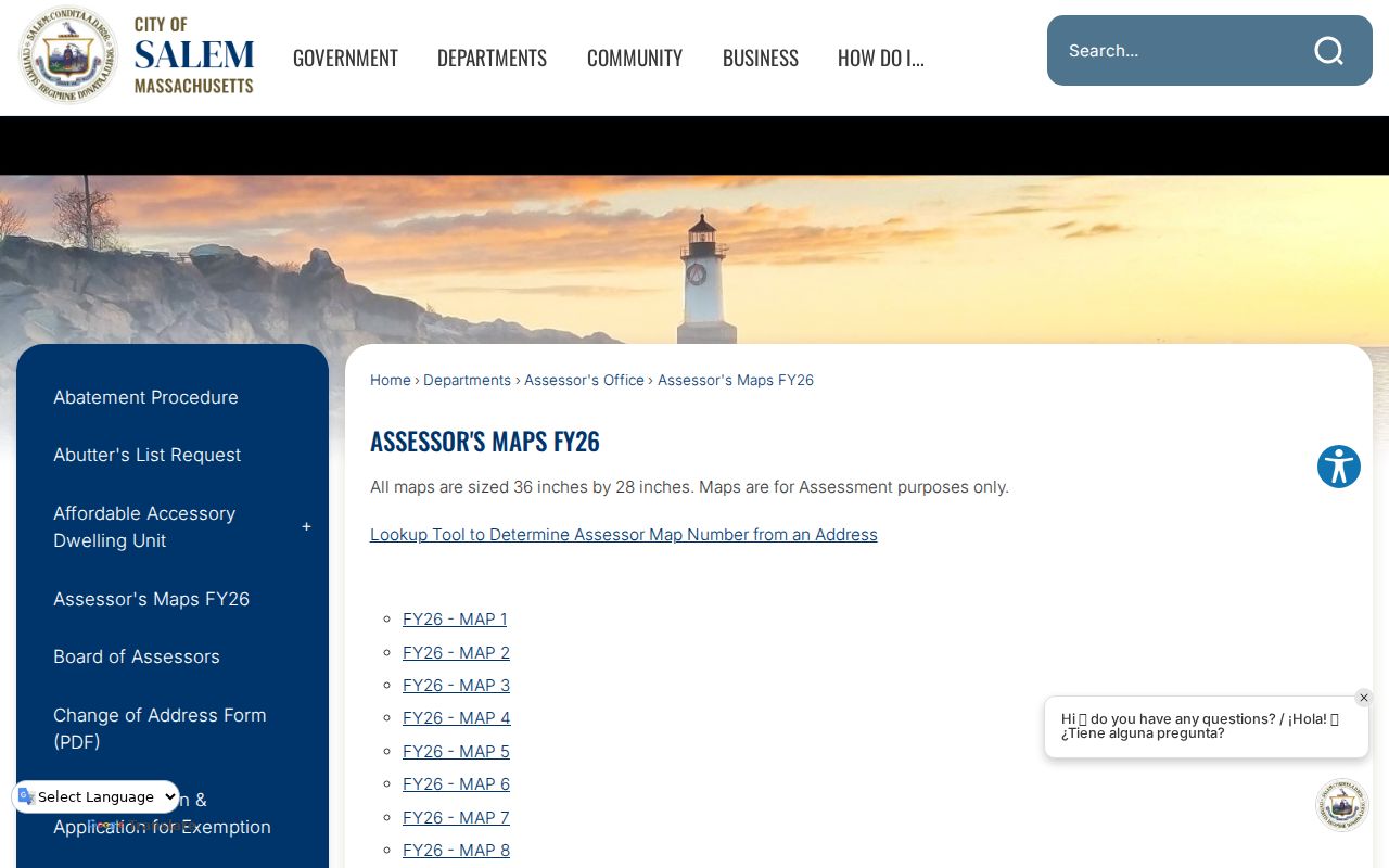
The map helps preserve the block’s physical setting. A Registry instrument, not the map image, supplies the legal ownership evidence.
The FY26 map index also carries island insets. MassGIS notes that Tinker’s Island shifted from Marblehead to Salem in 2014, so date and geography can matter when a coastal record names a different municipality.
Salem Block Owner Records
Salem Patriot WebPro can be searched by street name and optional street number. Its displayed Salem results can include parcel ID, location or situs, owner, built year and type, total assessed value, beds, baths, lot and finished area, land-use code, neighborhood code, sale date and price, and book and page. Its street-wide results are a parcel starting point, not a current household list.
Use book and page to reach the Southern Essex Registry. The Registry’s current street-search display is limited to deeds and conveyance documents from 1995 forward, while recorded images reach 1640 and historic index books support manual earlier work. Retain one row per parcel and one separate note per document. Do not combine condominium units, merged lots, or rear parcels into one household entry.
Note: A homestead or exemption entry may be assessment evidence, but it does not conclusively establish who currently lives at a Salem situs.
Salem Block Civic Groups
Salem’s official neighborhood-association list supplies a local Salem community layer. The groups are civic contacts and meeting channels, not private resident rosters. City planning material describes the Neighborhood Improvement Advisory Council as including the president or designee of each neighborhood organization. Use a public Salem meeting page or city agenda for an announced contact, and do not infer membership from a neighborhood label.
| Officially named Salem civic areas | Appropriate use |
|---|---|
| Barnes, Clark, Wyman Area; Bridge Street Neck; Broad Street Park; Chestnut Street | Community and meeting context. |
| Downtown; Federal Street; Greater Endicott Street; Mack Park | Public civic channels, not a membership directory. |
| North Street Northfields; Salem Common; Salem Willows; South Salem | Pair with city geography when a neighborhood label matters. |
| Ward 4/Gallows Hill | Use as the association name given by the city, not as a parcel or ZIP boundary. |
The City of Salem neighborhood-association list is the authoritative starting point for these public group names.
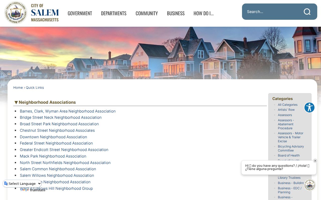
Use the list to identify civic context around a block. The research found no umbrella directory of live private member contacts.
Salem Block Voter Boundary
Massachusetts voter access has a sharp Salem block-level limit. The Secretary’s online status form is for an individual voter to check their own registration. It requires name, date of birth, residential ZIP, and agreement to the individual-use statement. M.G.L. c. 51 §47C keeps central-registry names and addresses from general public access, so the form cannot be used as a Salem neighborhood list.
Historical Salem voting lists in the State Library cover selected years from 1939 to 1989. They give historical civic-registration context but should not be recast as a current block roster. Confidential voter registration under 950 CMR 49 and the Massachusetts Address Confidentiality Program can suppress or mask a protected address.
Salem Block Mack Park History
Mack Park offers a particularly rich Salem block-history layer. The city’s 2025 preservation update says its completed neighborhood historic survey documented more than 100 properties, including original and past owners, builders, occupants, architectural styles, farmland subdivision, leather-industry effects, North River and Canal changes, ethnic groups, hardship, and the 1914 fire’s effects. Individual MACRIS forms can supplement deeds and directories for surveyed properties.
This is an evidence-rich way to understand an older Salem block without claiming that a survey entry identifies a current neighbor. The Point and Derby Street areas also carry Salem maritime and industrial context that can explain why a surname appears in an older civic, church, business, or directory section.
Use a Mack Park survey form as a dated preservation source, not as a complete block roster. The city describes it as documenting properties, owners, builders, and occupants in historical context. Match the property identifier or street form on the form to the Salem GIS parcel and the Registry deed before drawing a connection. Historic district, ward, and neighborhood-association labels can overlap around a block, but they describe different kinds of Salem geography.
Salem Block Official Records
Official Salem records and commercial neighbor tools answer different questions. The commercial category compiles brokered, public, and user-submitted data. It may have stale or mismatched addresses, paid barriers, and an opt-out process. It cannot override Salem voter confidentiality, protected addresses, utility privacy, or federal limits on motor-vehicle residential data.
| Source type | Strength | Limit |
|---|---|---|
| GIS and assessor | Dated parcel geometry and tax-roll property fields | Does not list every current household member. |
| Registry instrument | Recorded ownership and legal-description evidence | May not identify current occupants. |
| Historical directory | Year-specific occupant or street evidence | Not a modern address source and can contain gaps. |
| Commercial neighbor tools | May surface a lead to verify | Not the custodian and can be stale or wrong. |
A reliable Salem block note names the source, date, parcel, and record role. It does not turn a lead into a claim of present residence.
Salem Block Privacy Limits
Other household members, utility customers, DMV records, and protected Salem addresses are not public block-list material. M.G.L. c. 4 §7(26) contains privacy exemptions, while sealed or impounded court material and statutory voter and vital-record restrictions remain in force. A blank Salem result can be intentional, and the correct response is to respect the limit or use a defined custodian request.
For a request involving a specific Salem Police public record, the city provides its Police public-records request route. Records can still be subject to exemptions and redactions, so a request is not a route to private household details.
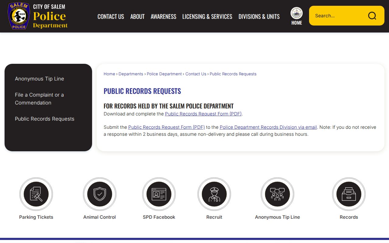
The request channel is useful for a defined public record with a clear date and identifier. It does not replace the privacy boundary around a Salem block.
Lawful use. Salem block records can support civic questions, reconnecting, and personal safety awareness. Do not use them to stalk, harass, intimidate, or harm anyone.